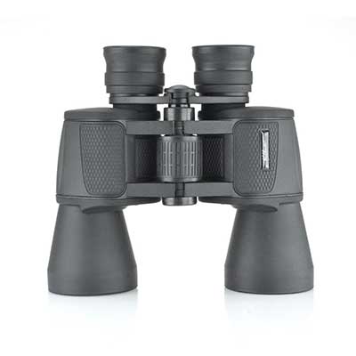
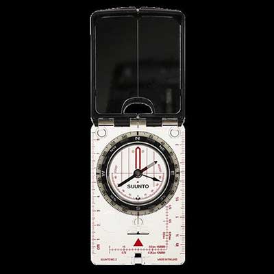
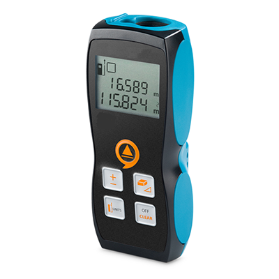
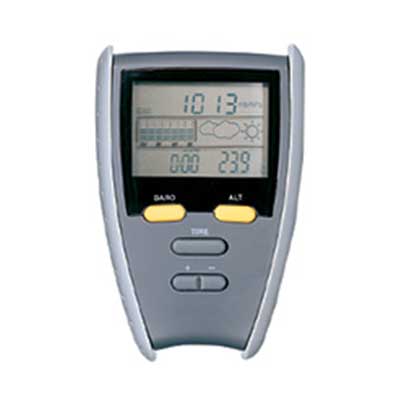
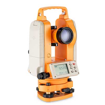
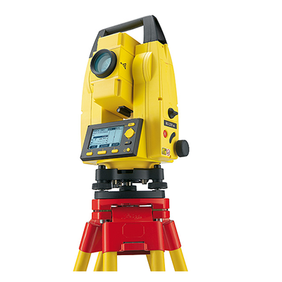
Our list of current Surveying Equipment products are listed below. If you cannot find what you are looking for, please contact us and we will try our best to help you.

Binoculars, 10x50

A traditional entry level binoculars that deliver multi-purpose functionality and performance. The 10x50 is perfectly suited to viewing in lower light conditions and as a starter binocular for astronomy. 

Traditional porro prism design 

Wide field of view 

Twist up eyecup system

Bk 7 prisms 

Supplied with case, strap, rain guard and objective caps

info »
500-190

Sighting Compass

With inclinometer. A folding pocket instrument with sighting mirror in the lid. Used for defining map locations and measuring geological equipment.

info »
500-108

Laser Distance Meter

Features:

  • Minimum / maximum
  • Plus / minus
  • Area / volumes
  • Permanent measurement 
  • Reference front / rear
  • mm, ft, inch
  • Supplied with holster

A compact, easy-to-use laser distance meter incorporating the latest cutting-edge technology to ensure quick, reliable and precise measurements. 

Professional functions make it perfect for area and volume calculations, staking-out using continuous measurement and indirect height measurement utilising the Pythagoras function. 

info »
500-116

Pocket altimeter

  • Monitors barometric pressure, temperature and altitude
  • Built in stopwatch
info »
500-112

Electronic digital theodolite

Supplied complete with instruction manual, protective cover, carrying case and a heavy duty, aluminium tripod.

info »
500-175

Automatic Level

Supplied complete with instruction manual, protective cover, carrying case and heavy duty, aluminium tripod.

info »
500-170

Levelling staff, 5m

Aluminium 5 section telescopic, complete with carry bag.

info »
500-145

Ranging rod

  • 2 metres ranging pole, aluminium
  • 2 sections with red/white markings
  • Pack of 6 in a bag
info »
500-146

Land chain

30 metres, black enamelled

info »
500-154

Land chain arrows

Pack of 10 

info »
500-156

Clinometer

A hand-held precision instrument for determining heights, slopes and vertical angles. The direct sighting device has the peak scale reading visible through the eye piece. Percentage and degree scales permit quick calculation of object heights using a known base line distance. Used by foresters, geologists and surveyors throughout the world.

info »
500-106

Double prismatic square

Case with plumb bob.

info »
500-126

Abney level

133 mm Abney level with belt looped leather case.

info »
500-132

Planimeter

  • Lightweight device with an 8 digit LCD display capacity
  • Measures in cm2, metres2, km2, inches2, ft2 and acres
  • Solid plastic carry case supplied
info »
500-140

Fast Speed Tape

50 metres fast speed tape on open frame winder.

info »
500-162

Total Station with EDM, Tribach, Li-Ion Battery, Charger, Flat Prism, Reflector Pole and Carry Case

The Tool Station is specifically designed for non-surveyors, such as site foremen architects and landscape gardeners etc. who have no direct surveying education. It is trouble-free, accurate and quick. 

Many customers are very familiar with co-ordinates in their office based CAD design & drawing packages and the Builder is really just an extension of this environment in the field.

Clear and intuitive graphical interface increases workflow.

Data can be collected in the field as a series of points and transferred directly to the CAD package and a design can similarly be uploaded for setting out in the field. 

Data can be exchanged via USB stick. 

The software has a simple menu structure, which guides the user through each task in terminology that the layman can easily follow and understand. 

The 500-196 will calculate all the angles and measure the distances with the in-built laser. Quick, Efficient, Accurate! 

With the 500-196 you can call up plan data and record points, eliminating read and write errors. 

Data can be exchanged via industrial grade USB stick, simplifying data handling. 

It also features a direct DXF download function, tracking mode, setup anywhere function, optional volume calculation. 

  • Up to 120m reflectorless 
  • Up to 250m with flat prism or reflective tape. 
  • Internal Memory - up to 15,000 points 
  • Serial RS232 Interface 
  • USB Compartment 
  • Laser Plummet 
  • 1 keyboard 
  • Extended RedDot range 
  • Industrial USB Memory Stick 
  • USB Type A and mini B 
  • Volumes Calculation 
  • Data Im/Export to USB Stick 
  • Setout by co-ordinates or baseline offset 
  • Survey points with codes and point numbers  
  • Direct DXF download 
  • 1-Man Station 
  • Serial Interface 
  • Tracking Mode 
  • Laser Pointer Switch Key 
  • PC/Handheld Interface 
  • Laser Distance Measure 
  • Control Line Setup 
  • Free Station Setup 
  • Theft Protection 
  • Pit Stop Alert 
  • 3 Languages 
  • Electronic Levelling 
  • Sector Beep 
  • Dual Axis Compensator 
  • Endless Drives 
  • Laser Plummet 
  • Display Heating and Illumination 
  • Li-Ion Batteries 
  • Set Delivery 
  • Internal Memory (points): 15,000 
  • Accuracy/Option: 9” 
  • Laser Pointer 
  • Range without reflector (90% reflective): 120m 
  • Range to reflective tape (60mm x 90mm): 250m 
  • Laser Dot Size: At 30m: approx. 7mm x 10mm, At 50m: approx. 8mm x 20mm 
  • Weight incl. Battery & Tribrach: 5.1kg 
  • Operating Temperature: -20°C to +50°C 
  • Battery Type/Life: Li-Ion/approx. 20 hours
  • Environmental: IP55 
  • Keyboard: Standard 
  • Switch Key: single function 


info »
500-196

Land measurer

For rough terrain. info »
500-118